header print

Poland Looks Even More Magical From Above – 16 Photos

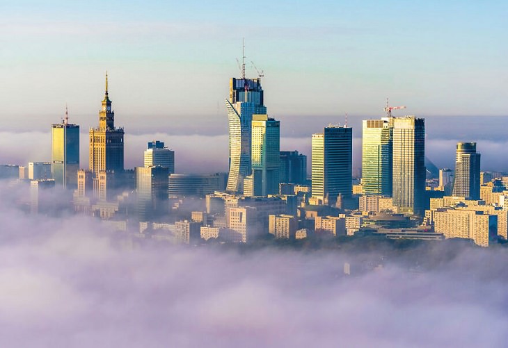
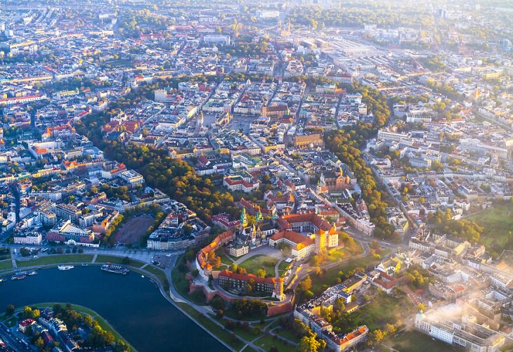
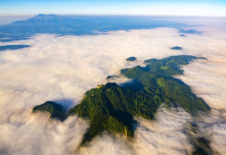
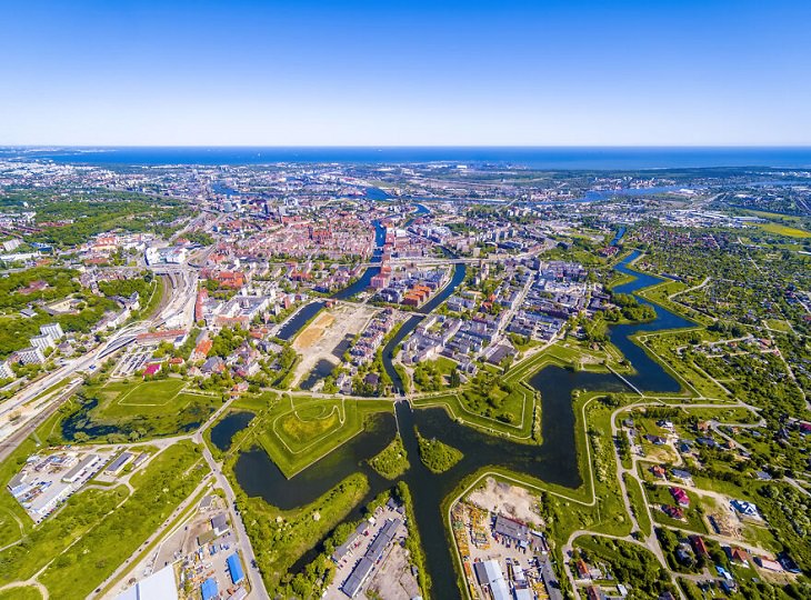
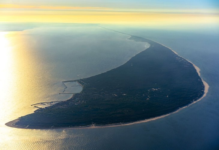
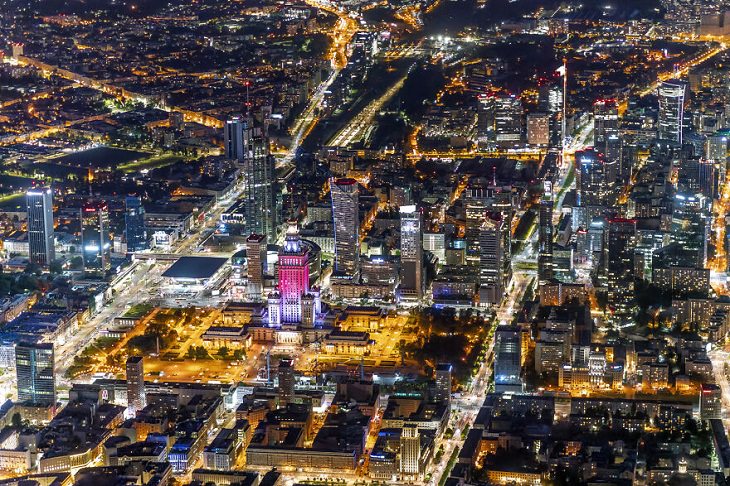
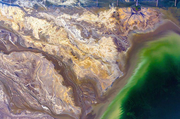
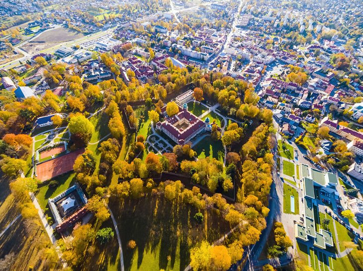
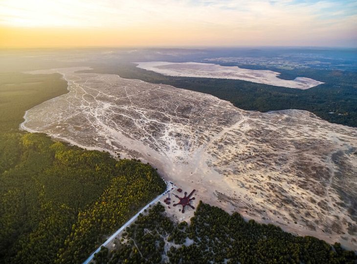
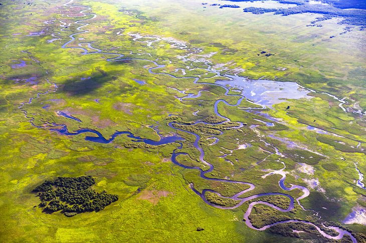
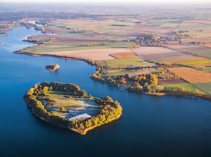
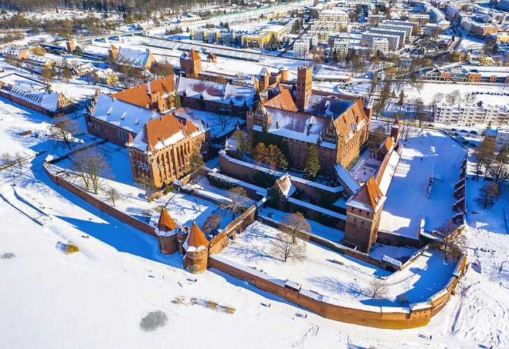
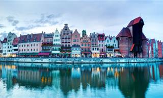
Poland, the historical European country, is well-known for its stunning medieval architecture, castles, and palaces. This ancient country is home to some beautiful mountains, rivers, and national parks. In our previous posts, we have shown you some of the most impressive sights in Poland. Today, we will take you on a trip through this beautiful country from above!

Photographer Maciej Margas, who is based in Warsaw, the capital of Poland, has always been fascinated by the views of the world from above. Even as a teenager, he started taking pictures of Warsaw from roofs. Recently, the photographer captured many breathtaking aerial photographs of Poland from a helicopter to show the country’s beauty to the world. Here, we have featured some of his best shots. These amazing photos will make you fall in love with Poland all over again.

1. The Polish capital Warsaw captured in a sea of fog

Aerial Views of Poland, Warsaw
Image source: Maciej Margas

2. The historic center of Krakow. It was once the Polish capital.

Aerial Views of Poland, Krakow
Image source: Maciej Margas

3. The Pieniny Archipelago

Aerial Views of Poland, The Pieniny Archipelago
Image source: Maciej Margas

4. Gdańsk was once the biggest city in Poland. You can see the old fortifications in this photo, which are not visible from the ground level 

Aerial Views of Poland, Gdańsk
Image source: Maciej Margas

5. The Hel Peninsula is 35 kilometers (21.7 miles) long and is one of the big attractions of the country

Aerial Views of Poland, Hel Peninsula
Image source: Maciej Margas

6. A night panorama of Warsaw

Aerial Views of Poland, night panorama of Warsaw
Image source: Maciej Margas

7. These abstract shapes are created by ash waste from the Belchatow Power Plant in Rogowiec

Aerial Views of Poland, Belchatow Power Plant
Image source: Maciej Margas

8. Łańcut Castle in Łańcut is one of the most gorgeous aristocratic residences in Poland and is famous for its excellent interiors

Aerial Views of Poland, Łańcut Castle 
Image source: Maciej Margas

9. Lake Solina is an artificial lake in the Bieszczady Mountains

Aerial Views of Poland, Lake Solina 
Image source: Maciej Margas

10. River's End is a place where the 650-mile-long (1,046 km) Vistula river, the longest Polish river, flows into the Baltic Sea.

Aerial Views of Poland, the Vistula
Image source: Maciej Margas

11. The Tatra Mountains are the highest mountains in Poland. In the center of the frame, you can see Morskie Oko - the biggest Tatra lake

Aerial Views of Poland, Tatra Mountains
Image source: Maciej Margas

12. An aerial view of Pol'and'rock Festival, an annual free rock music festival in Poland

Aerial Views of Poland, Pol'and'rock Festival
Image source: Maciej Margas

13. The Błędowska Desert, also dubbed the 'Polish Sahara,'  is the only genuine desert-like area in all of Europe. 

Aerial Views of Poland, Błędowska Desert
Image source: Maciej Margas

14. Biebrzanski National Park, the biggest national park in Poland, is located in the northeastern part of the country.

Aerial Views of Poland, Biebrzanski National Park
Image source: Maciej Margas

15. Ostrów Lednicki (pronounced as Ostroff Ledneetsky) is the largest of the five islands on Lake Lednica. It's located between the cities of Gniezno and Poznań.

Aerial Views of Poland, Ostrów Lednicki
Image source: Maciej Margas

16. Malbork Castle is the biggest castle not only in Poland but in entire Europe. This 13th-century medieval brick castle was built by the Teutonic Knights.

Aerial Views of Poland, Malbork Castle
Image source: Maciej Margas
Check out more works of the photographer on his Instagram page.
Share these photos with other travel enthusiasts you know...
Next Post
Sign Up for Free Daily Posts!
Did you mean:
Continue With: Google
By continuing, you agree to our T&C and Privacy Policy
Sign Up for Free Daily Posts!
Did you mean:
Continue With: Google
By continuing, you agree to our T&C and Privacy Policy