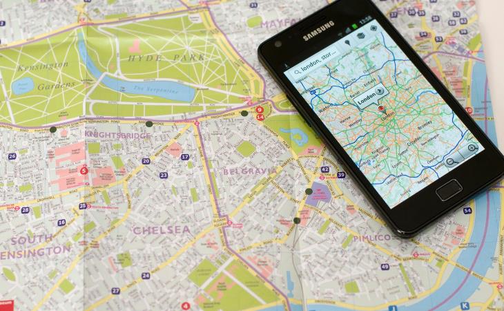
I am an avid Google Maps user. I use it almost daily because, at this point, it is far more than a mere navigation app. I use it to take a virtual tour in a distant land, to explore and find new dining places in my hometown, to navigate in the city when I need to avoid traffic, and, of course, I use it for planning trips, travel routes, and measuring distances.
Up until recently, I thought I knew everything there is to know about Google maps. But there is a lot more to this little application than meets the eye. Here are all of the things you can do on Google Maps that you never knew you could.
As I’ve said before, Google Maps is a great tool to help you find new dining places or discover the culinary scene when you travel to a new city. If you have any dietary restrictions, you can set them up in the app, and it will show you only the restaurants that suit your diet. Here’s how:
When you open the app, there is a small circular icon at the top right inside the search bar itself. It contains the first letter of your username on Google (usually, it will be the first letter of your name). Tap it and then choose settings.
Under "exploring places," choose "manage your preferences." When you tap "dietary," you will have options like alcohol-free, gluten-free, vegan, and vegetarian.
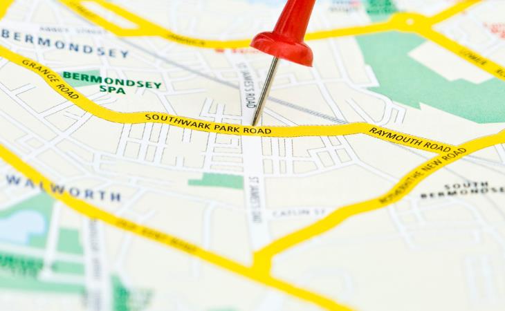
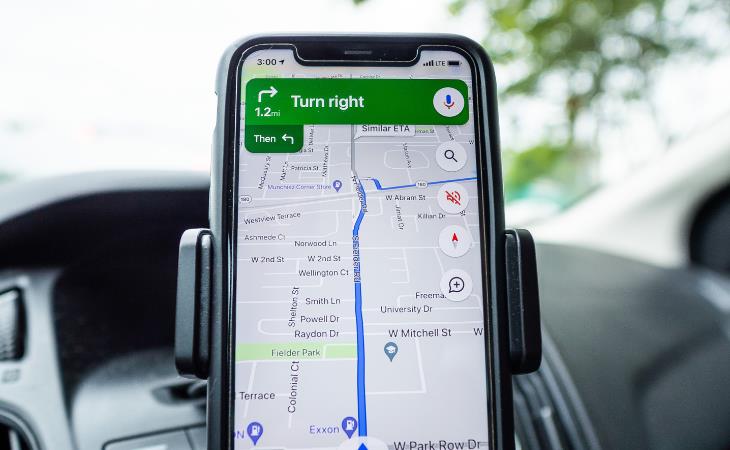
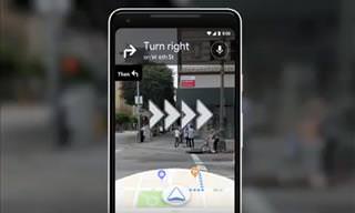
When you enter an address or tap a point of interest on the map, Google maps will show you the distance you have to travel to get there from where you are. But if you want to measure a straight distance, here’s how you do it:
Tap and hold your starting point. A small window will pop up from the bottom of your app. Tap “measure distance.“ Now you can start dragging the map, pinching the screen to zoom out if needed.
As you drag the map, the distance will show in real-time at the bottom left of the screen.
You can tap the plus icon at the bottom right to add more points. The distance will always be calculated from the white dot to the hollow black dot. To exit the measuring screen, tap the back icon at the top left.
I remember going to a football game once and spending hours in the parking lot trying to find my car. There were moments of panic, there were moments of despair, but as I’m sitting here now writing these lines, you can probably understand I eventually found my car. It could take me much less time if I knew this Google maps hack. And if you tend to lose your car in large parking lots too, Google maps can help you with that.
As soon as you’re parked, open the app, and tap and hold the blue dot that marks your location. A small window will pop up at the bottom of her screen. Drag it up so that it covers the whole screen, and tap the three-dot icon at the top right. Choose “set as parking location.“
The next time you open Google maps, you will see this saved point from almost anywhere on the map. It will say “you parked near here.“ You can tap it to get directions to your car and select “clear“ to delete the dot from the map.
If you’ve recently switched to an electric vehicle, you know the struggle of trying to find charging stations. Google maps can help with that. Simply open the app, and type in the search bar “EV charging station.“ You will get a list of results arranged in descending order of proximity. The results will also include the number of charging spots, the types of ports available, and the charging speed.
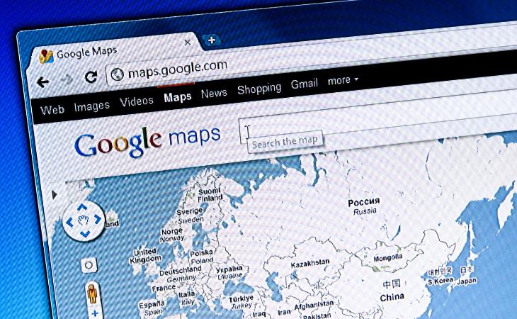
When you’re at home, planning a future route you will be traveling through, it is more convenient to work on your desktop. You’re probably working on the web version of Google Maps. But how can you take your planned route with you? You will either see an icon or a button that says "send directions to your phone." The icon will look like a smartphone with a small arrow on it. Clicking on it will allow you to send a route to yourself by Gmail, which you can open from your smartphone.